Images
World Map Pictures, Images and Stock Photos
There are almost 420000 world map stock photos at the iStock image library. Browse our easy-to-search collection to find and download stock imagery of world maps and atlases as well as photos of world maps composed of flag buttons. You can also find images of vintage maps of Europe and other continents and maps with individual countries silhouetted against white backgrounds.
world map vector
globe
world map flat
world map background
world map infographic
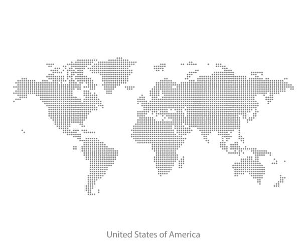
world map dots
world map illustration
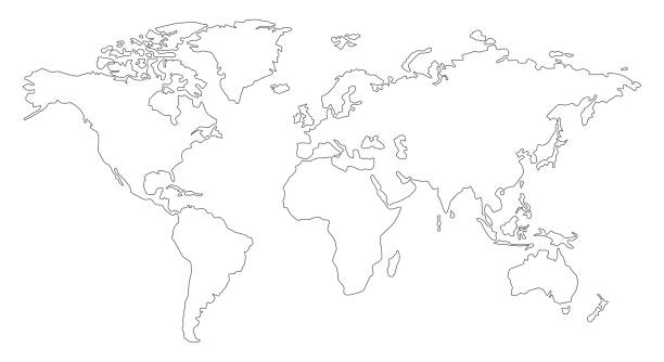
world map outline
old world map
world map icon
digital world map
world map globe
world map with countries
world map simple
world map continents
abstract world map
world map 3d
3d world map
world map with pins
isometric world map
world map vector countries
world map eps
world map line
dotted world map
world map vintage
world map graphic
detailed world map
world map network
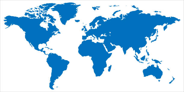
world map blue
world map paper
Most popular
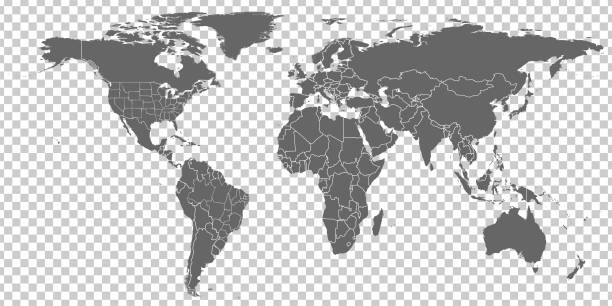
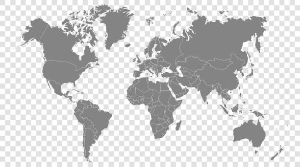
World map on a transparent base (can be added on top of any color background)
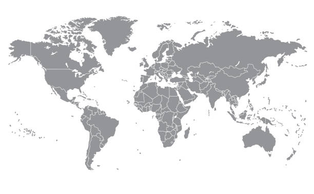
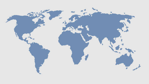
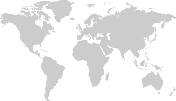
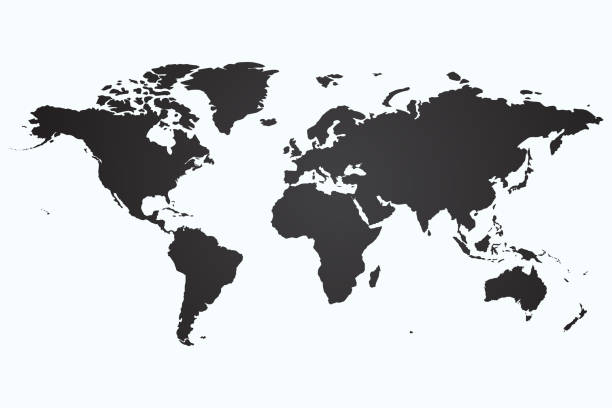
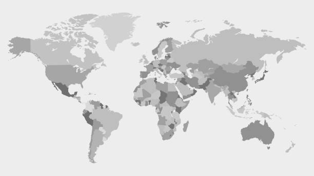
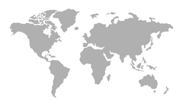
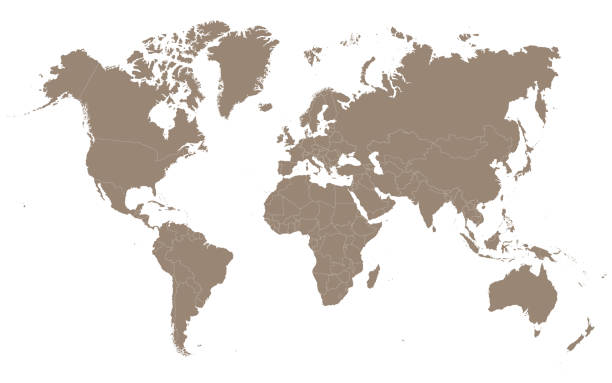
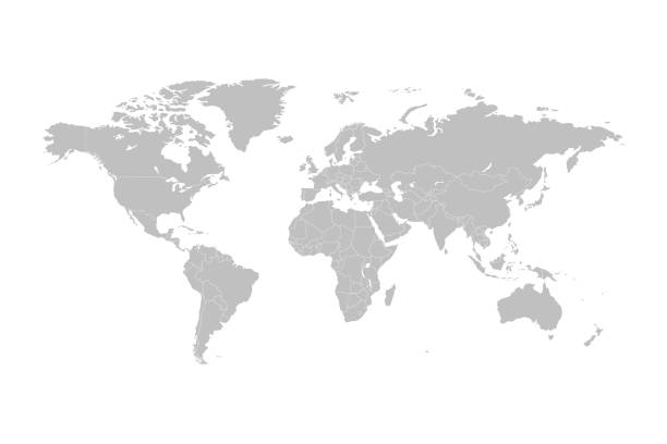
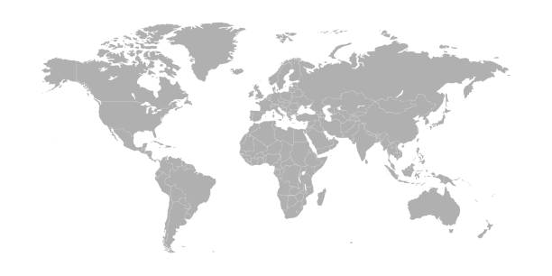
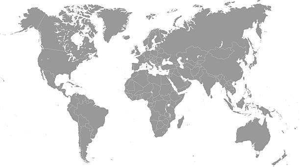
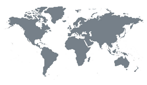
Grey map of the world on a white background. Vector illustration.
Vector illustration in HD very easy to make edits.
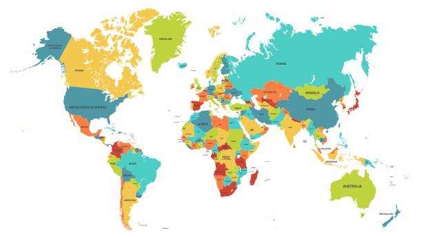
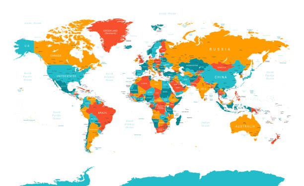
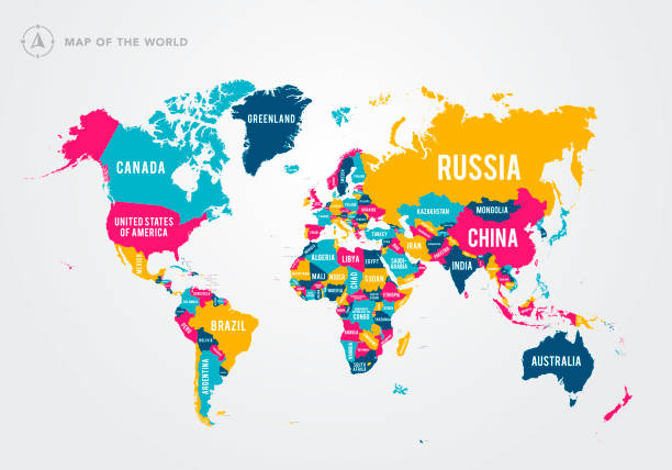
Colored world map. Political maps, colourful world countries and country names. Geography politics map, world land atlas or planet cartography vector illustration
vector of the World map

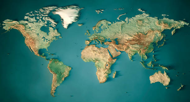
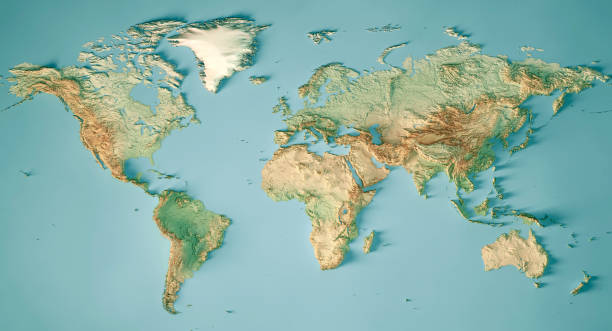
3D Render of a Topographic Map of the World in Miller Projection. All source data is in the public domain. Color and Water texture: Made with Natural Earth. http://www.naturalearthdata.com/downloads/10m-raster-data/10m-cross-blend-hypso/ http://www.naturalearthdata.com/downloads/110m-physical-vectors/ Relief texture: GMTED 2010 data courtesy of USGS. URL of source image: https://topotools.cr.usgs.gov/gmted_viewer/viewer.htm

World Map EPS 10 Vector Illustration

vector of the world map map
Blue curved World map contours on white background. Made for world news and articles. Vector illustration.
World map vector image isolated on white background. Individual country color editable.
Vector illustration in HD very easy to make edits.
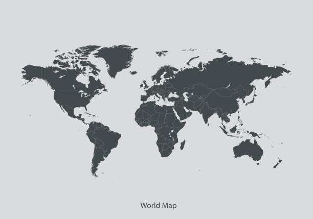
Highly detailed world map with labeling. Grayscale vector illustration.
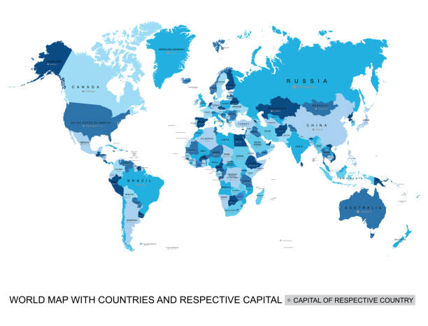
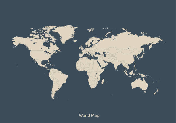
Print map of world for t-shirt, poster or geographic themes. Hand-drawn colorful map with states and capital names. Vector modern Illustration.Detailed illustration map shape can be use for presentation,chart,template and report.white background.
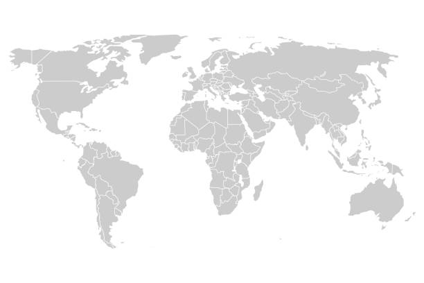
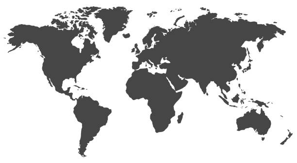
outline of the world map in gray color on a white backgrounds.vector illustration


Map of the World - Highly Detailed Vector illustration
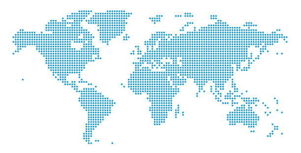
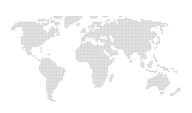
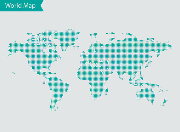
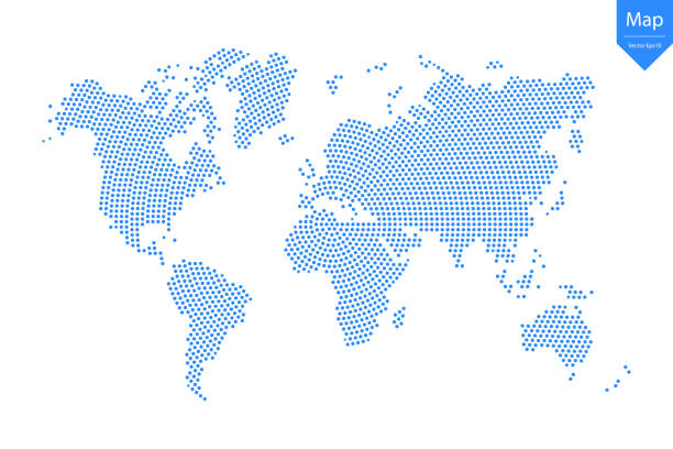
Detailed world map of dots - vector illustration
Vector illustration in HD very easy to make edits.
vector of the World Map map
World Map EPS 10 Vector Illustration
Earth Globe Icons. Vector for web

World Map - Highly Detailed Vector Map of the World. Ideally for the Print Posters

3D Render of a Topographic Map of the World in Miller Projection. All source data is in the public domain. Color and Water texture: Made with Natural Earth. http://www.naturalearthdata.com/downloads/10m-raster-data/10m-cross-blend-hypso/ http://www.naturalearthdata.com/downloads/110m-physical-vectors/ Relief texture: GMTED 2010 data courtesy of USGS. URL of source image: https://topotools.cr.usgs.gov/gmted_viewer/viewer.htm
vector of the World map
Abstract graphic World map from point blue on a white background. Vector illustration.

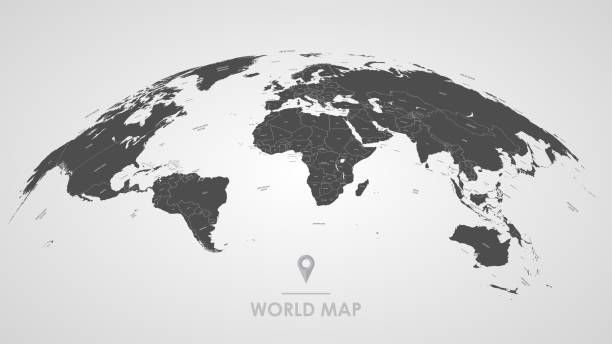
Highly detailed 3d generated globe with glowing connection lines between big cities. Perfectly usable for all kinds of topics related to international business and finance or global data networks. Created from textures by NASA: https://visibleearth.nasa.gov/images/55167/earths-city-lights, https://visibleearth.nasa.gov/images/73934/topography
Vector of highly detailed world map - each country outlined and has its own labeled layer - The url of the reference file is : http://www.lib.utexas.edu/maps/world.html - 1 layer of data used for the detailed outline of the land

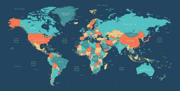
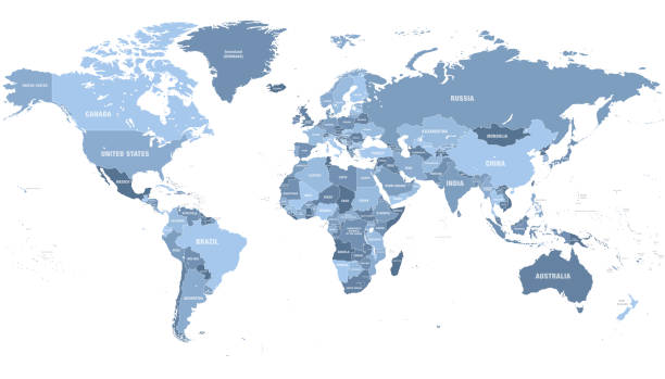
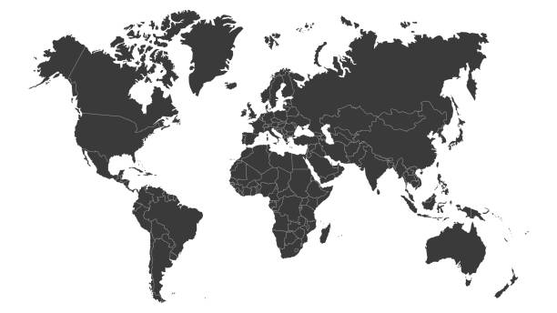
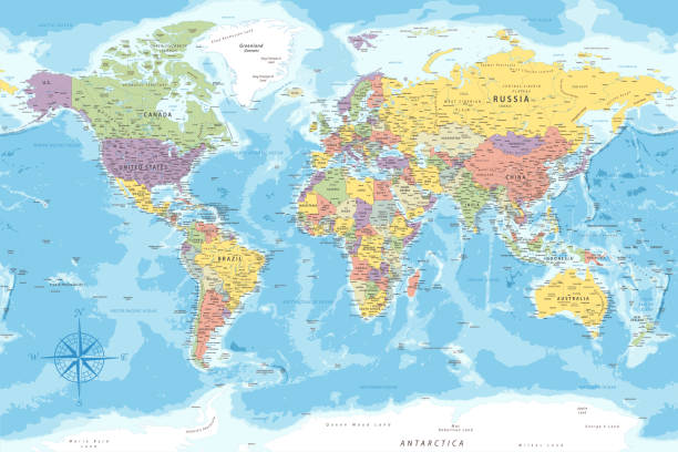
High Detailed World Map Color - borders, countries and cities - vector illustration

Map of the World - Highly Detailed Vector illustration

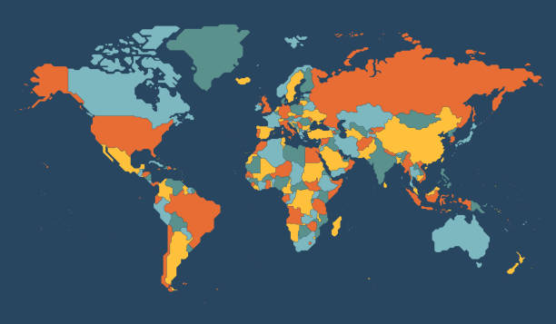

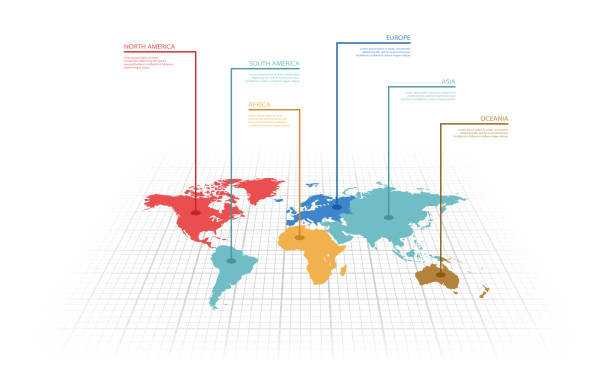
Vector illustration infographic of the World map with continents highlighted by different colors and labels

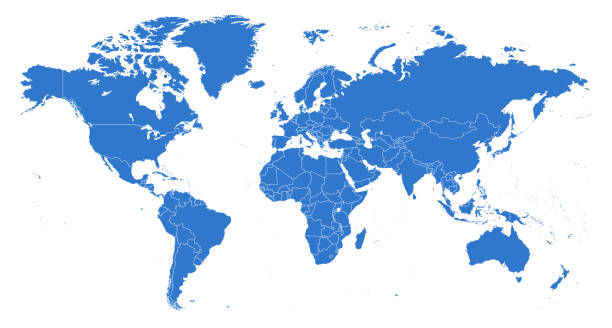
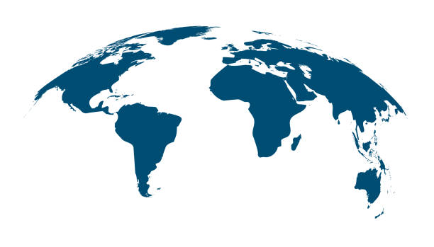
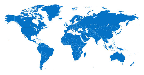
World map in blue. Globe symbol in flat design. Planet silhouette. Earth with continents on white background. Map of europe and america. Asia and Australia illustration. EPS 10
Next