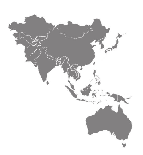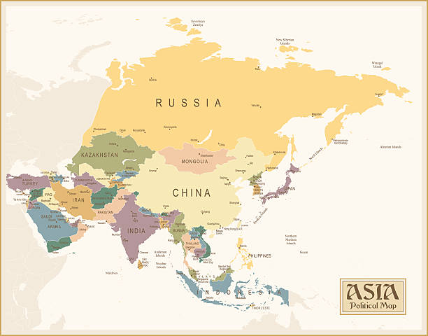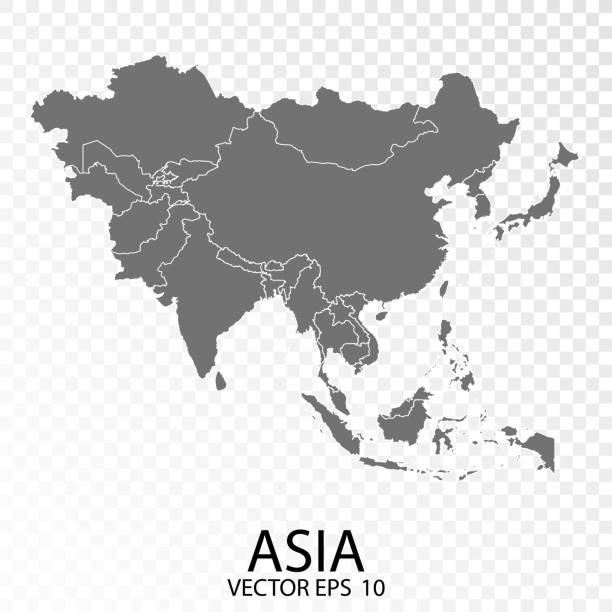
Transparent - High Detailed Grey Map of Asia. Vector eps10.
Browse 409,200+ asia map stock photos and images available, or search for asia pacific map or asia map vector to find more great stock photos and pictures.
Transparent - High Detailed Grey Map of Asia. Vector eps10.
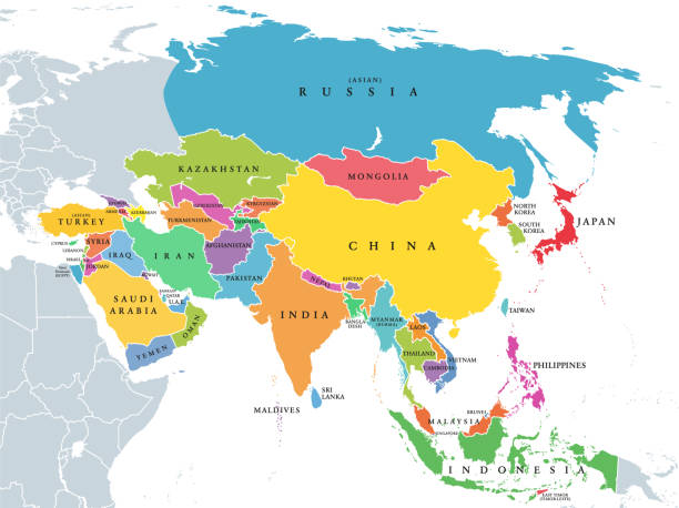
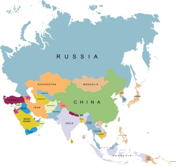
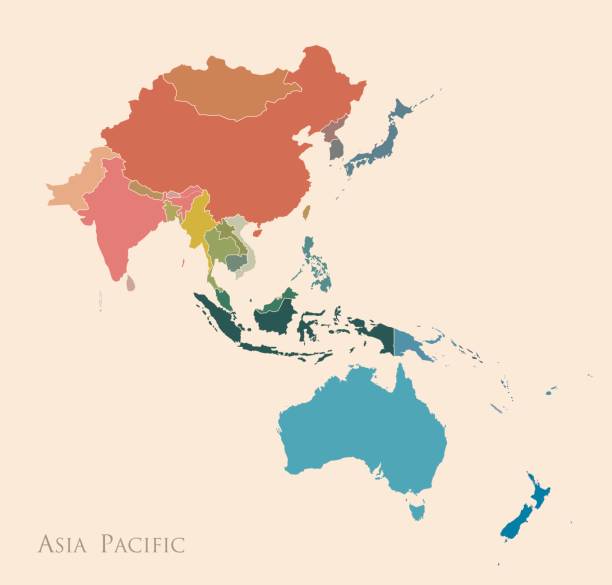
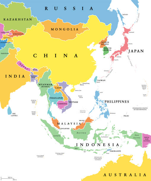
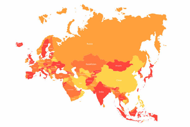
Main regions of Asia. Political map with single countries. Colored subregions of the Asian continent. Central, East, North, South, Southeast and Western Asia. English labeled. Illustration. Vector.

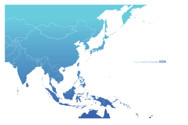
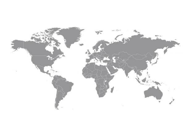
Map of Asia Pacific. Grey map of Asia. Vector illustration.
Asia map vector on vector background
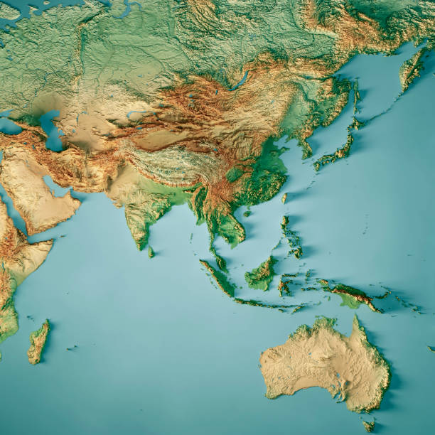
3D Render of a Topographic Map of Asia and Australia. All source data is in the public domain. Color texture: Made with Natural Earth. http://www.naturalearthdata.com/downloads/10m-raster-data/10m-cross-blend-hypso/ Relief texture: GMTED 2010 data courtesy of USGS. URL of source image: https://topotools.cr.usgs.gov/gmted_viewer/viewer.htm Water texture: SRTM Water Body SWDB: https://dds.cr.usgs.gov/srtm/version2_1/SWBD/
Map of Asia Pacific. Vintage color

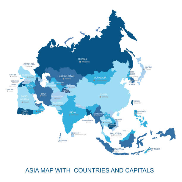
Map of Asia with details and the name of each country. Vector illustration in HD very easy to make edits.
Simple Black Map of Asia Isolated on White Background, can be used for business designs, presentation designs or any suitable designs.
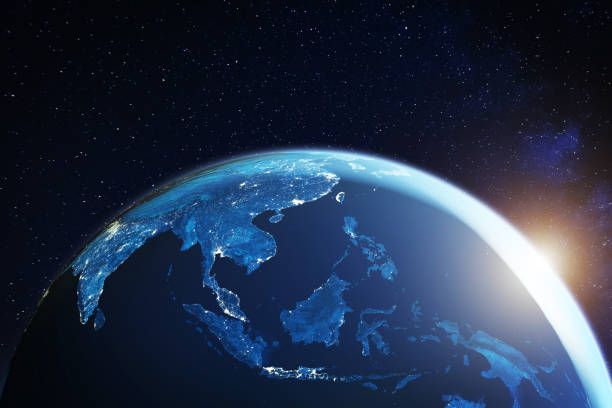
Southeast Asia from space at night with city lights showing South East Asian cities in Thailand, Vietnam, Malaysia, Singapore and Indonesia, 3d rendering of planet Earth, elements from NASA (https://eoimages.gsfc.nasa.gov/images/imagerecords/57000/57752/land_shallow_topo_2048.jpg)
http://i.istockimg.com/file_thumbview_approve/19436985/1/stock-photo-19436985-globe.jpg

Pan Asia Pac Geometric Network World Map Globe Polygon Graphic Background.
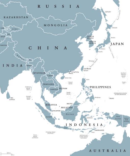
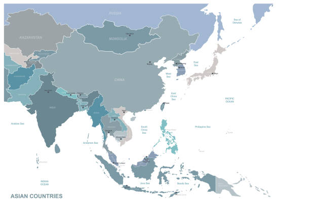
East Asia political map with countries and borders. Eastern subregion of the Asian continent with China, Japan, Mongolia and Indonesia. English labeling. Gray illustration on white background. Vector.

Vector illustration of a map of Asia and all its countries
Earth illustration. Each country has its own autonomous border and background color fill, which gives the opportunity to select the desired part from the rest of the content. Objects are isolated.
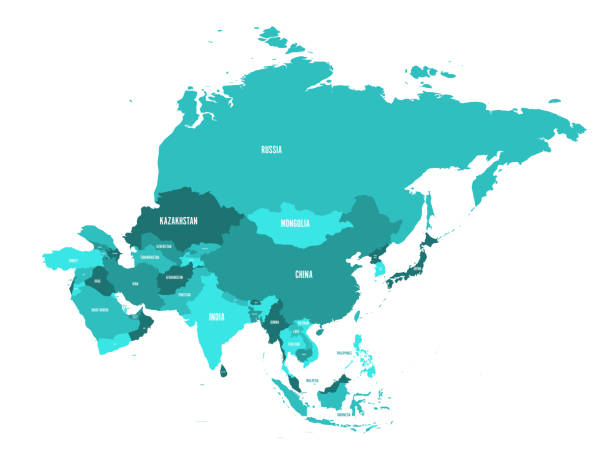
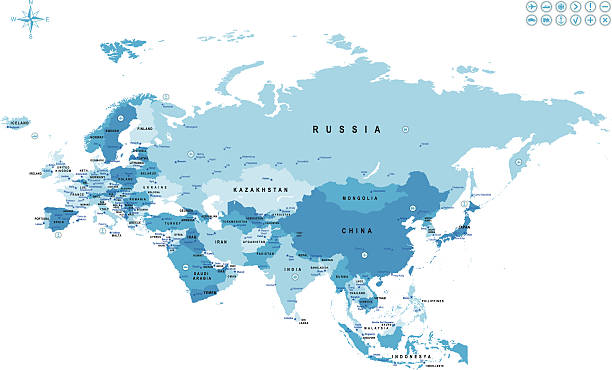
Political map of Asia continent in shades of turquoise blue. Vector illustration.

World Map on digital pixelated display
Print map of Asia for t-shirt, poster or geographic themes. Hand-drawn colorful map with states and capital names. Vector modern Illustration.Detailed illustration map shape can be use for presentation,chart,template and report.white background.
East Asia, single states, political map. All countries in different colors, with national borders, labeled with English country names. Eastern subregion of the Asian continent. Illustration. Vector.

Map of Asia made with round blue dots on a blank background. Original mosaic illustration. Vector Illustration (EPS10, well layered and grouped). Easy to edit, manipulate, resize or colorize. Please do not hesitate to contact me if you have any questions, or need to customise the illustration. http://www.istockphoto.com/portfolio/bgblue
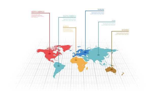
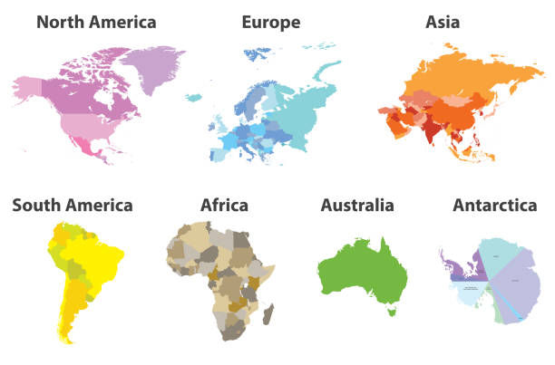
Vector illustration infographic of the World map with continents highlighted by different colors and labels

Globalized world, the future of digital technology. Connections and cloud computing in the virtual world. World map with satellite data connections. Connectivity across the world.

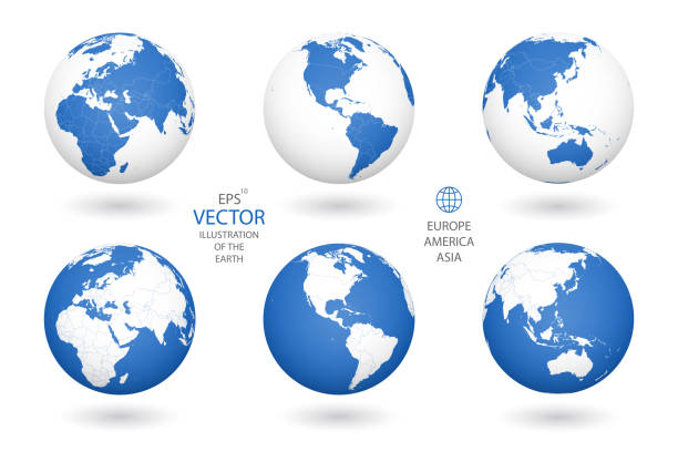
modern style blue world earth globe asia japan
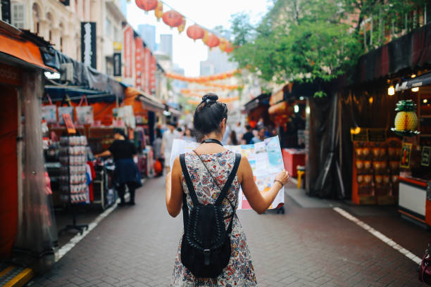
Rear view image of a young brunette woman. She is enjoying the walk and exploring the city, wearing a casual but fashionable dress, sightseeing and shopping on the Singapore street market. She is holding a large city map, checking out where to go next.

dark earth globe with glowing details of city and human population density areas. wiew of asia. suitable for technology, future and science themes. 3d illustration
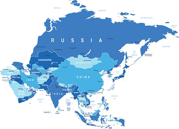
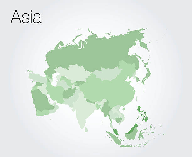
Asia map - highly detailed vector illustration
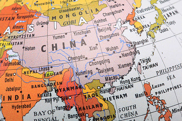
![Asia map Asia map. Source: "World reference atlas"
[url=/search/lightbox/5890567][IMG]http://farm4.static.flickr.com/3574/3366761342_e502f57f15.jpg?v=0[/IMG][/url] asia map stock pictures, royalty-free photos & images](https://media.istockphoto.com/id/118291920/photo/asia-map.jpg?s=612x612&w=0&k=20&c=7LIAJbLuBpCKtfNkMdWdXt3qiq5ENVWPjl_TO0o1AIs=)
Asia map. Source: "World reference atlas" [url=/search/lightbox/5890567][IMG]http://farm4.static.flickr.com/3574/3366761342_e502f57f15.jpg?v=0[/IMG][/url]
World map with countries vector art
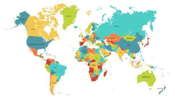
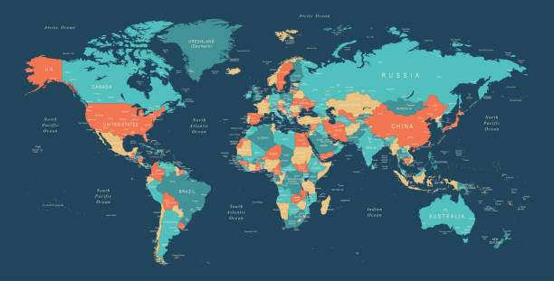
Colored world map. Political maps, colourful world countries and country names. Geography politics map, world land atlas or planet cartography vector illustration
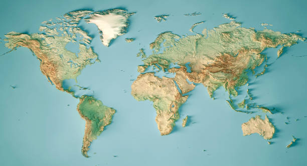
3D Render of a Topographic Map of the World in Miller Projection. All source data is in the public domain. Color and Water texture: Made with Natural Earth. http://www.naturalearthdata.com/downloads/10m-raster-data/10m-cross-blend-hypso/ http://www.naturalearthdata.com/downloads/110m-physical-vectors/ Relief texture: GMTED 2010 data courtesy of USGS. URL of source image: https://topotools.cr.usgs.gov/gmted_viewer/viewer.htm
World Regions related, square line vector icon set for applications and website development. The icon set is pixelperfect with 64x64 grid. Crafted with precision and eye for quality.

The flow of data across a connected world. (World Map Courtesy of NASA: https://visibleearth.nasa.gov/view.php?id=55167)
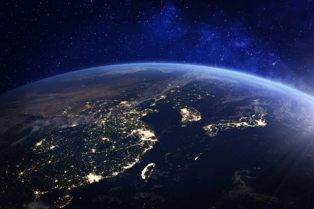
Asia at night from space with city lights showing human activity in China, Japan, South Korea, Hong Kong, Taiwan and other countries, 3d rendering of planet Earth, elements from NASA (https://eoimages.gsfc.nasa.gov/images/imagerecords/57000/57752/land_shallow_topo_2048.jpg)
Vector Eurasia map with countries borders. Abstract red and yellow Eurasia countries on map for infographic
High Detailed World Map Color - borders, countries and cities - vector illustration

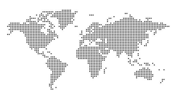
Dotted World Map Background. Earth Globe. Globalization Concept. Black And White. Vector.
Travel and tourism background. Vector flat illustration
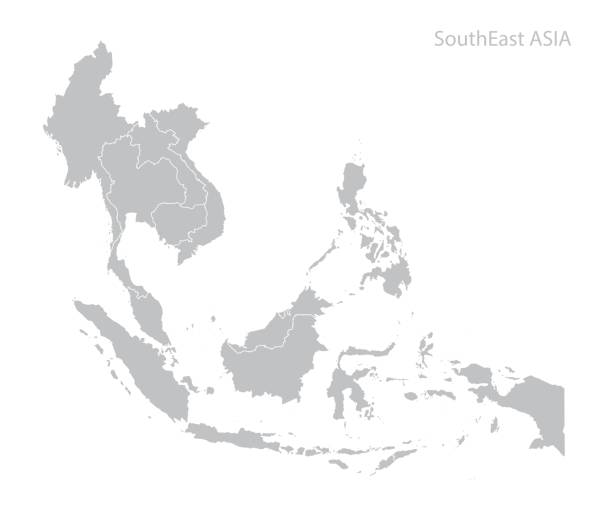
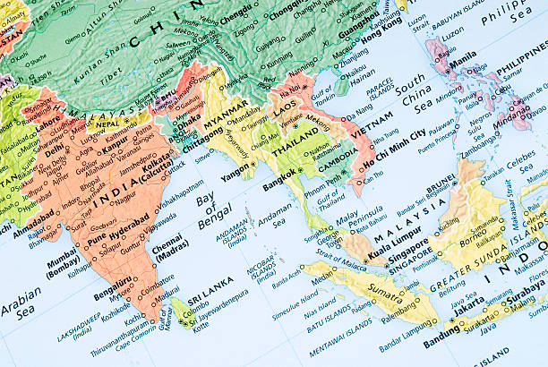
Map of Southeast Asia. Vector
![Blue glowing Earth [Lower Asia] Royalty free 3d rendering of a glowing earth. Image is big enough for you to choose the cropping. Lower Asia and Indian Ocean prominent. asia map stock pictures, royalty-free photos & images](https://media.istockphoto.com/id/173027360/photo/blue-glowing-earth-lower-asia.jpg?s=612x612&w=0&k=20&c=ZKMWsA3ODlhzzzESzt3lLAMjq8Zyz9DHwOyd0ws4tpA=)
Royalty free 3d rendering of a glowing earth. Image is big enough for you to choose the cropping. Lower Asia and Indian Ocean prominent.
© 2025 iStockphoto LP. The iStock design is a trademark of iStockphoto LP. Browse millions of high-quality stock photos, illustrations, and videos.
Do Not Sell or Share